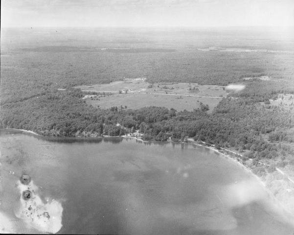
Locations: Camp Mahn Go Tah See Mi Notes: Follow the shoreline from left to right in the aerial photograph taken by Homer Roberts. From the far left, waterfront (you can see the docks, raft and sailboat), Navigation Center, Sports Court, Lynd Lodge, and Jeffers Outpost
The open field in the middle is now (over 50 years later) filled in with trees. Filename: photo038